343 Pontypool Road
Manvers · Kawartha Lakes, ON L0A 1K0
Listing brokerage: DAN PLOWMAN TEAM REALTY INC.
Asking price
$299,900
Key facts
- Vacant landProperty type
- 0Bedrooms
- 0Bathrooms
- NoneParking
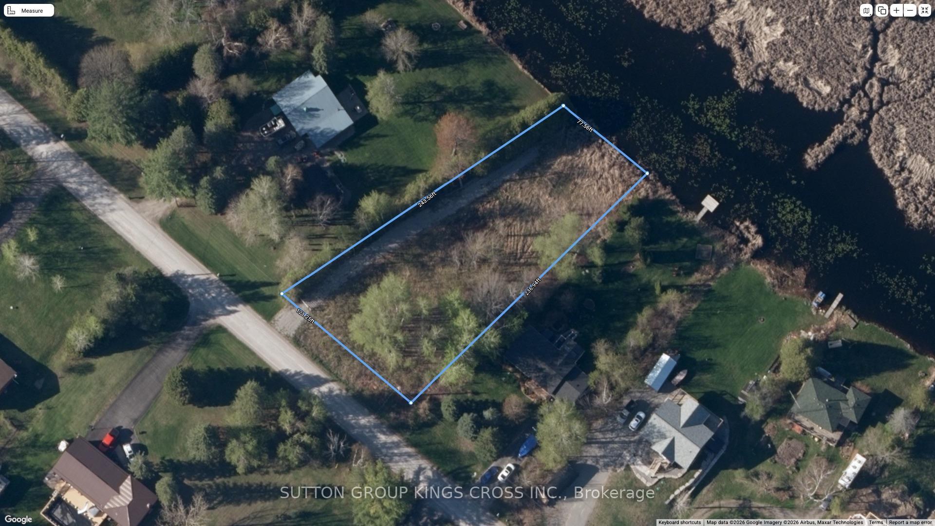
- 150 ftLot frontage
- Oct 27, 2026Listed
- 13 daysOn market
- X14120148MLS® number
About this home
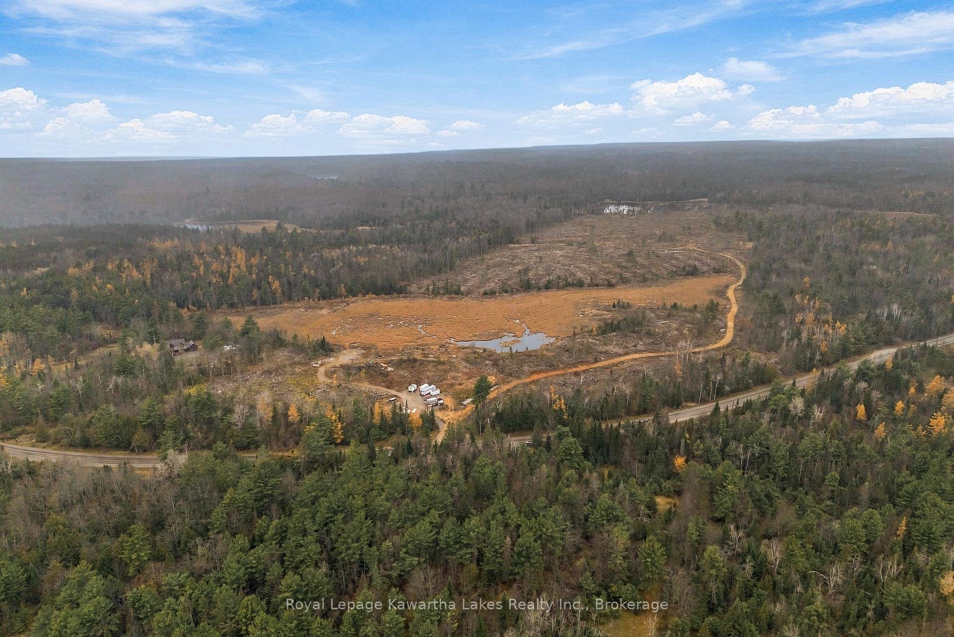
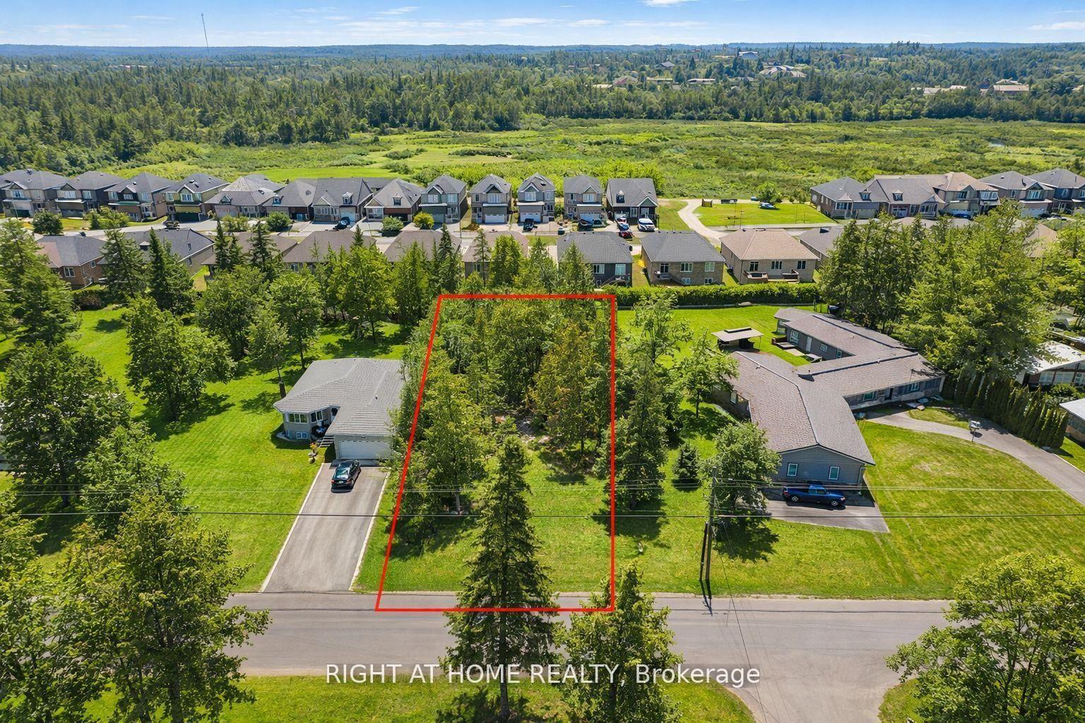
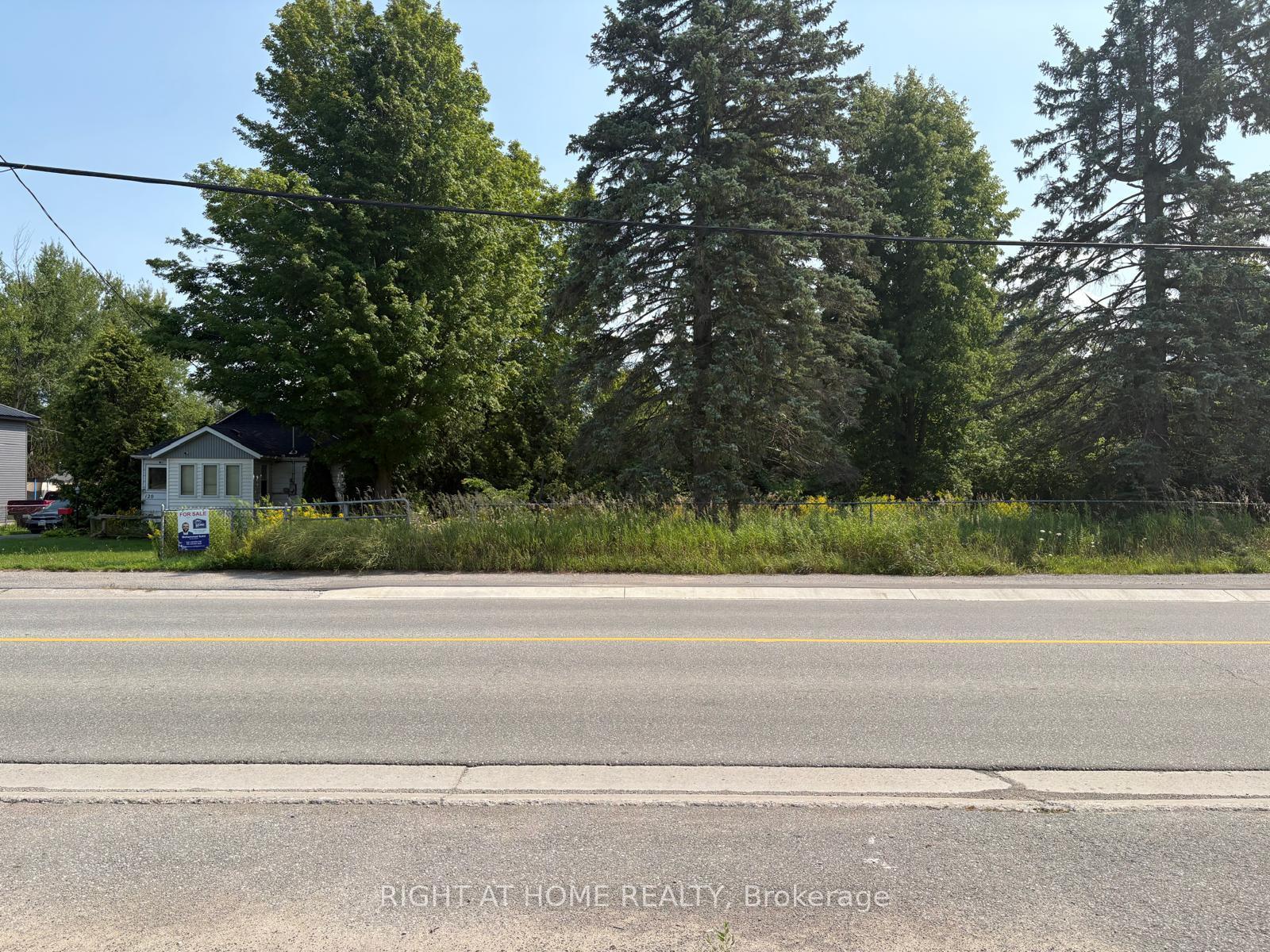
This Is Your Golden Opportunity To Build Your Dream Home On This Spacious 1-Acre Vacant Land In The Peaceful Community Of Pontypool. Offering A Generous Expanse Of Land And A Tranquil Setting Surrounded By Nature, This Property Provides An Ideal Canvas To Bring Your Vision To Life. Whether You Envision A Custom Family Home, A Private Country Retreat, Or A Beautifully Designed Estate, The Possibilities Are Yours To Explore. Enjoy The Charm Of Small-Community Living While Remaining Conveniently Connected To Nearby Amenities And Major Transportation Routes. Just A Short Drive From Highway 35/115, This Property Offers Convenient Access For Commuting And Travel. Don't Miss This Opportunity To Secure Your Own Piece Of Pontypool And Create A Home Tailored To Your Lifestyle!
Price history
- Listed$299,900
Location
343 Pontypool Road, Kawartha Lakes
Schools & transit
School locations and boards shown from open data. We do not publish rankings; any future scores will be sourced, dated and shown factually.
Nearby schools
- Millbrook/South Cavan Public SchoolKawartha Pine Ridge DSB · Elementary · 12.8 km in a straight lineBoundary data unavailable for this board — we don't guess catchment lines.
- Orono Public SchoolKawartha Pine Ridge DSB · Elementary · 14.4 km in a straight lineBoundary data unavailable for this board — we don't guess catchment lines.
- North Hope Central Public SchoolKawartha Pine Ridge DSB · Elementary · 15.9 km in a straight lineBoundary data unavailable for this board — we don't guess catchment lines.
Nearby transit
Lines nearby: 88, 507
- Hwy. 35 @ Hwy. 115 Park & RideGO Transit · 5.5 km in a straight line · about 69 min walk (estimate) · 88
- Peterborough Rd. 10 @ Hwy. 115 Park & RideGO Transit · 13.6 km in a straight line · about 170 min walk (estimate) · 88
- Main Southbound @ Millson HillDurham Region Transit · 14.1 km in a straight line · about 177 min walk (estimate) · 507
Sources
- Contains information licensed under the Open Government Licence – Ontario. Source: Ontario Ministry of Education.
- Data used in this product or service is provided with the permission of Metrolinx. Metrolinx makes no representations or warranties of any kind, express or implied, with respect to the Data and assumes no responsibility for the accuracy or currency of the data used in this product or service.
- Contains public sector information made available under The Regional Municipality of Durham's Open Data Licence.
- Adapted from Statistics Canada, National Address Register, 2024-05-11. This does not constitute an endorsement by Statistics Canada of this product.
MLS® #X14120148
Last updated Oct 27, 2026
MLS®, Multiple Listing Service®, and the associated logos are owned by The Canadian Real Estate Association (CREA)/the applicable board and identify the quality of services provided by real estate professionals who are members.
Listing data is provided under licence by the Toronto Regional Real Estate Board and is deemed reliable but not guaranteed accurate.