34 Blueberry Run Trail
Nobleton · King, ON L7B 0N3
Listing brokerage: ROYAL LEPAGE PREMIUM ONE REALTY
Asking price
$1,430,000
Key facts
- Semi detachedProperty type
- 3Bedrooms
- 5Bathrooms
- 4 spacesParking
- 2,250 sq ftLiving space
- 31.07 ftLot frontage
- Sep 24, 2026Listed
- 45 daysOn market
- N13822730MLS® number
About this home
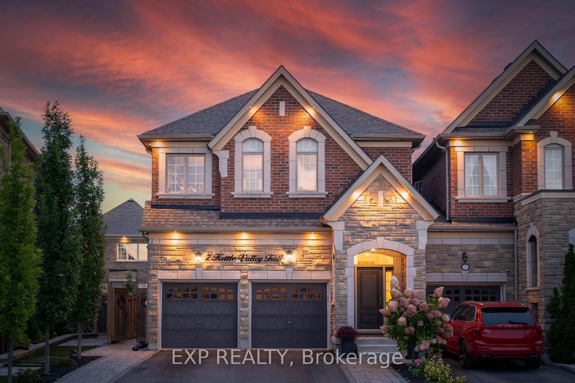
Located in Nobleton's prestigious "King Country Estates," this absolutely stunning link home-attached only at the garage-offers luxury living on a premium pie-shaped lot that widens to 44' at the rear. Beautifully upgraded throughout, it features hardwood flooring, a custom two-tone kitchen with quartz counters and built-in stainless-steel appliances, and an impressive custom front entry door. The professionally finished basement includes a wet bar, fireplace, and ample space for entertaining. All bedrooms offer private ensuite baths, complemented by elegant wall paneling and detailed mouldings. Additional highlights include three fireplaces, a spacious two-car garage, and flagstone accents at the entrance. A rare blend of style, function, and craftsmanship in one of Nobleton's most desirable communities.
Price history
- Listed$1,430,000
Location
34 Blueberry Run Trail, King
Schools & transit
School locations and boards shown from open data. We do not publish rankings; any future scores will be sourced, dated and shown factually.
Nearby schools
- Nobleton Public SchoolYork Region DSB · Elementary · 356 m in a straight lineBoundary data unavailable for this board — we don't guess catchment lines.
- St Mary Catholic Elementary SchoolYork CDSB · Elementary · 792 m in a straight lineBoundary data unavailable for this board — we don't guess catchment lines.
- Allan Drive Middle SchoolPeel DSB · Elementary · 6.8 km in a straight lineBoundary data unavailable for this board — we don't guess catchment lines.
Nearby transit
Lines nearby: 38, 41
- Hwy. 50 @ McEwan Dr.GO Transit · 7.6 km in a straight line · about 95 min walk (estimate) · 38
- Regional Rd. 50 @ Queensgate Blvd.GO Transit · 7.6 km in a straight line · about 96 min walk (estimate) · 38
- Highway 50 s/of Queensgate BlvdBrampton Transit · 7.6 km in a straight line · about 96 min walk (estimate) · 41
Estimated commute
- Toronto Pearson Airport~101 minestimate
How is the commute estimated?
Estimate only. A coarse model from straight-line distance and an average transit speed — not a live routed trip. Actual times vary with schedules, transfers and traffic.
Sources
- Contains information licensed under the Open Government Licence – Ontario. Source: Ontario Ministry of Education.
- Data used in this product or service is provided with the permission of Metrolinx. Metrolinx makes no representations or warranties of any kind, express or implied, with respect to the Data and assumes no responsibility for the accuracy or currency of the data used in this product or service.
- Transit data © City of Brampton (Brampton Transit), licensed under Creative Commons Attribution (CC BY).
MLS® #N13822730
Last updated Oct 5, 2026
MLS®, Multiple Listing Service®, and the associated logos are owned by The Canadian Real Estate Association (CREA)/the applicable board and identify the quality of services provided by real estate professionals who are members.
Listing data is provided under licence by the Toronto Regional Real Estate Board and is deemed reliable but not guaranteed accurate.